


About ICGMRS 2027
Oceans cover 70% of the Earth's surface and nurture more than half of all life, playing a central role in maintaining the planet's ecological balance. They provide vast space and indispensable natural resources for human survival and sustainable development. In November 2012, the report of the 18th National Congress of the Communist Party of China first proposed the major strategy of "building a maritime power," establishing a strategic goal for the development of China's marine undertakings. Surveying, geology, and remote sensing technologies serve as fundamental supports for marine engineering construction, marine resource development, and marine scientific research. To exchange recent domestic and international achievements in the application of geology, surveying, mapping, and remote sensing to the marine field, and to promote the realization of the strategic goals and vision of building a maritime power.
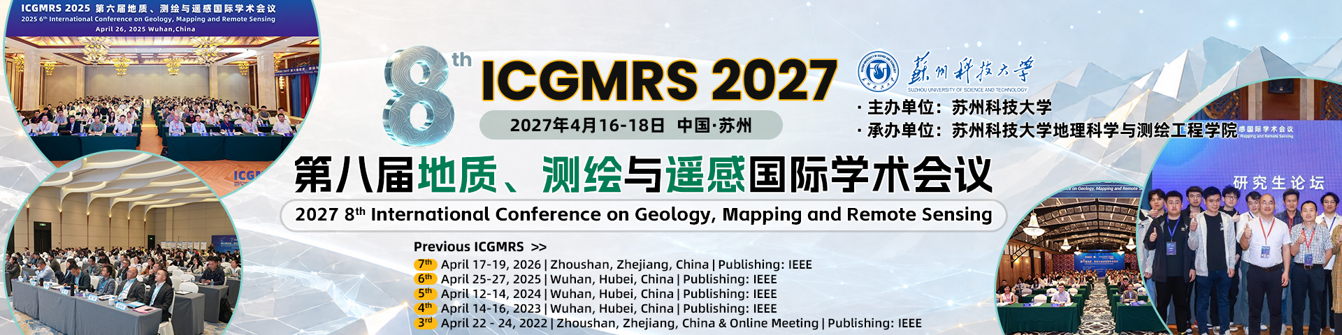
The 8th International Conference on Geology, Mapping and Remote Sensing (ICGMRS 2027) will be held in Suzhou, China, from April 16 to 18, 2027. The conference theme is "Geology, Surveying, Mapping and Remote Sensing Serving the Maritime Power Strategy." Since 2020, the International Conference on Geology, Mapping and Remote Sensing (ICGMRS) has been successfully held for seven sessions. The conference aims to provide an international platform for experts, scholars, and enterprises in the fields of geology, mapping, and remote sensing to share research findings, discuss existing problems and challenges, and explore cutting-edge technologies. We warmly welcome scholars from both home and abroad to submit papers and participate!



Important Dates
Full Paper Submission Date: January 31, 2027
Notification of Acceptance date: March 2, 2027
Final Paper Submission Date: March 17, 2027
Registration Deadline:April 1, 2027
Conference Dates: April 16-18, 2027
Call for Papers
The topics of interest for submission include, but are not limited to:
📚︎Surveying & Mapping
Photogrammetry; Aerial Photogrammetry; Cartography; City Brains, Smart Oceans and Digital Earth; Computer Graphics; Graphic Image Copy Technology; Sensor Technology; Mapping Technology; Surveying and Mapping Instruments
📚︎Application of Remote Sensing Technology
Remote Sensing Monitoring of Carbon Neutrality and Emissions; Remote Sensing Monitoring of Key Climate Factors of Global Change; Remote Sensing, GIS and Navigation and Positioning System (3S) Integration and Application; Meteorological Application; Marine Applications; Ecological and environmental Applications; Transportation Applications; Urban Construction Application; Disaster Assessment and Monitoring and Management; Global Change Studies; Renewable Energy Map; Remote Sensing and Data Interpretation; Radar Sensor; Spatial Information Decision; Big Data Analysis; 3D Scene Reconstruction; Range Image Processing; Virtual Globe and its Application; Global Satellite Navigation System and its Application; GPS Application; Web GIS / Mobile Mapping; Marine Communication
📚︎Remote Sensing
Optical Remote Sensing; Microwave Remote Sensing; Remote Sensing of Atmospheric Environment; Planetary Remote Sensing and Mapping; Remote Sensing Information Engineering; Geographic Information System; Global Navigation Satellite System; Satellite Navigation and Positioning; Spatial Database; Earth Monitoring and Mapping; Space Technology and Landscape; Classification and Data Mining Techniques; Image Processing Technology; Hyperspectral Image Processing; Remote Sensing of Aquatic Environment; Deformation Monitoring Data Processing Technology; Digital Map; Remote Sensing Information Extraction Technology
📚︎Maritime Communications
Remote Sensing Monitoring of Carbon Neutrality and Emissions; 6G Maritime Remote Sensing Information Transmission Technology and Related Applications; Intelligent Maritime Communications; 5G for Marine Applications; Maritime Satellite Communications; Underwater Acoustic Communications; Channel Modeling for Maritime Communications; Underwater Visible Light Communications; Maritime Localization and Navigation Techniques; E-navigation; AI-enabled Maritime Networks; Maritime IoT
Sponsor
 |
Publication
All accepted full papers will be published in the conference proceedings and will be submitted to EI Compendex / Scopus for indexing.
Note: All submitted articles should report original research results, experimental or theoretical, not previously published or under consideration for publication elsewhere. Articles submitted to the conference should meet these criteria. We firmly believe that ethical conduct is the most essential virtue of academics. Hence, any act of plagiarism or other misconduct is totally unacceptable and cannot be tolerated.
Publication: ICGMRS 2026 |ICGMRS 2025 |ICGMRS 2024
Ei Compendex: ICGMRS 2026 |ICGMRS 2025 |ICGMRS 2024


Contact Us
Conference Secretary: Sukie Chen
Tel: +86-19022043304 (WeChat)
E-Mail: icgmrs@163.com


If you have any questions or inquiries, please feel free to contact us.