2025 6th International Conference on Geology, Mapping and Remote Sensing (ICGMRS 2025) Achieves Remarkable Success in Wuhan
On April 26, 2025 6th International Conference on Geology, Mapping and Remote Sensing (ICGMRS 2025), co-sponsored by the School of Remote Sensing and Information Engineering, Wuhan University and IEEE Geoscience and Remote Sensing Society Wuhan Chapter, co-organized by Computer Vision and Remote Sensing Lab of Wuhan University and the AEIC Academic Exchange Information Center, and co-organized by School of Geographic Science and Geomatics Engineering, Suzhou University of Science and Technology, was successfully held in Wuhan, Hubei Province!

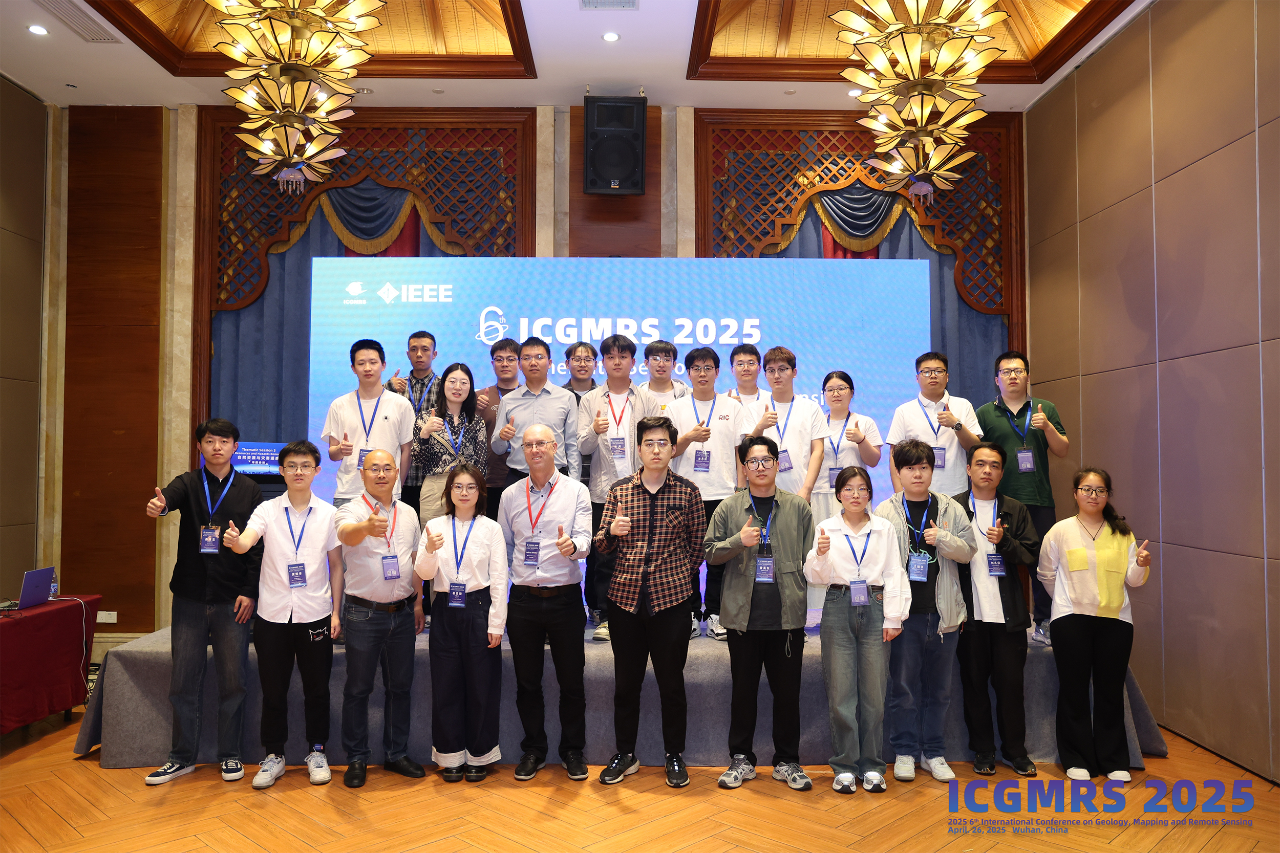
Group Photo
The conference brings together top scholars from all over the world, attracting nearly 200 scholars from more than 100 universities and research institutes at home and abroad, including experts and scholars from more than 100 universities, including Monash University in Australia, Wuhan University, Sun Yat-sen University, China University of Geosciences, Wuhan, Shenzhen University, Henan University, Central South University, University of Twente in the Netherlands, Nanchang University, Hunan University, Shandong University of Science and Technology, and Xinjiang University. Experts and scholars.
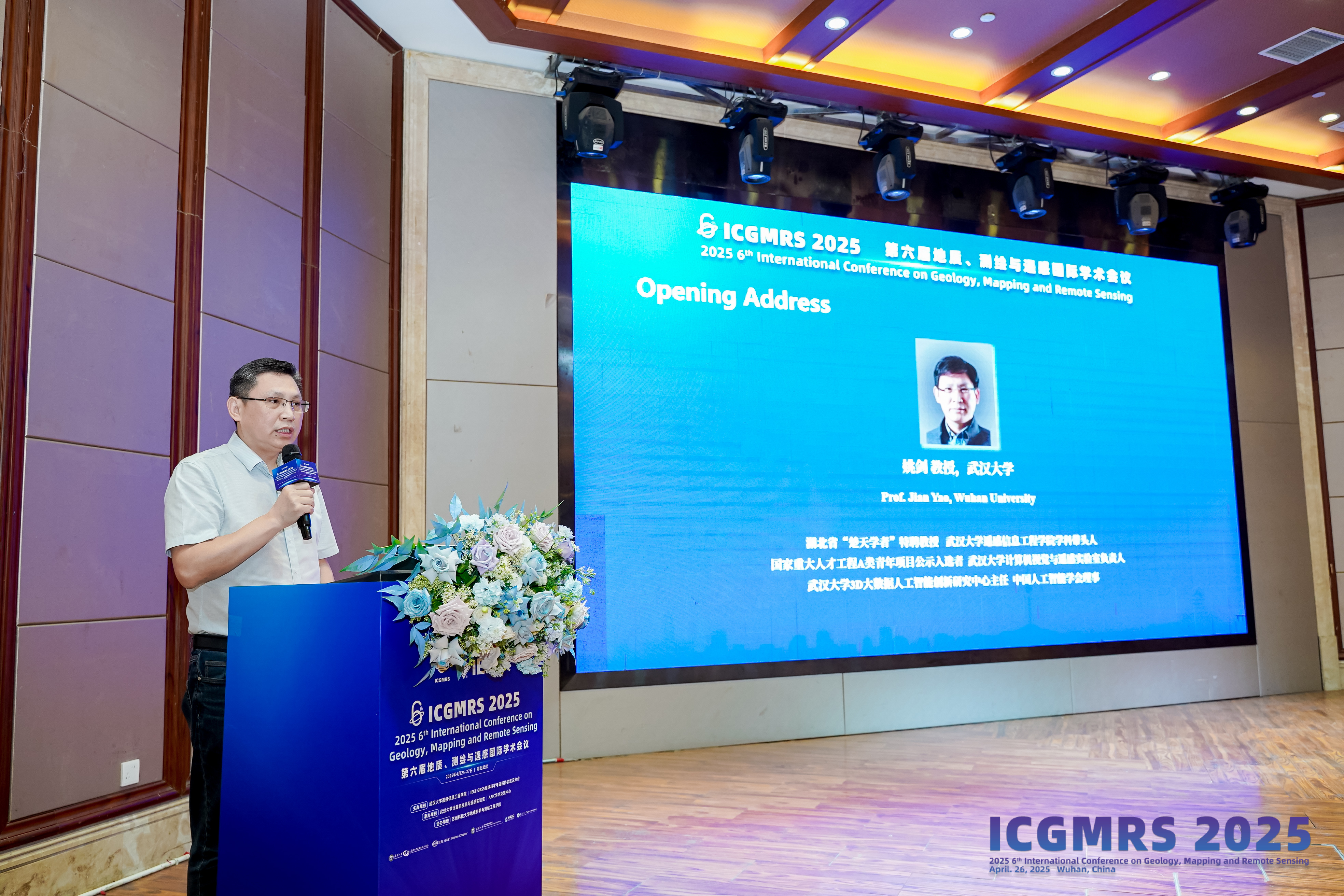
Prof. Jian Yao, Wuhan University
Prof. Jian Yao from Wuhan University expressed his warm welcome to the participating scholars from all over the country at the opening ceremony of the conference, and affirmed the important role played by geology, mapping and remote sensing technology in the fields of resource exploration, environmental protection, disaster prevention and control, and urban planning. Wuhan University has the world's leading strength in remote sensing and mapping, relying on the State Key Laboratory and the top talent team, has long been leading the technological innovation, cultivating the industry elites, and promoting the significant application of remote sensing technology in the national resource monitoring, disaster early warning and other fields, and the international academic influence is among the world's forefront.
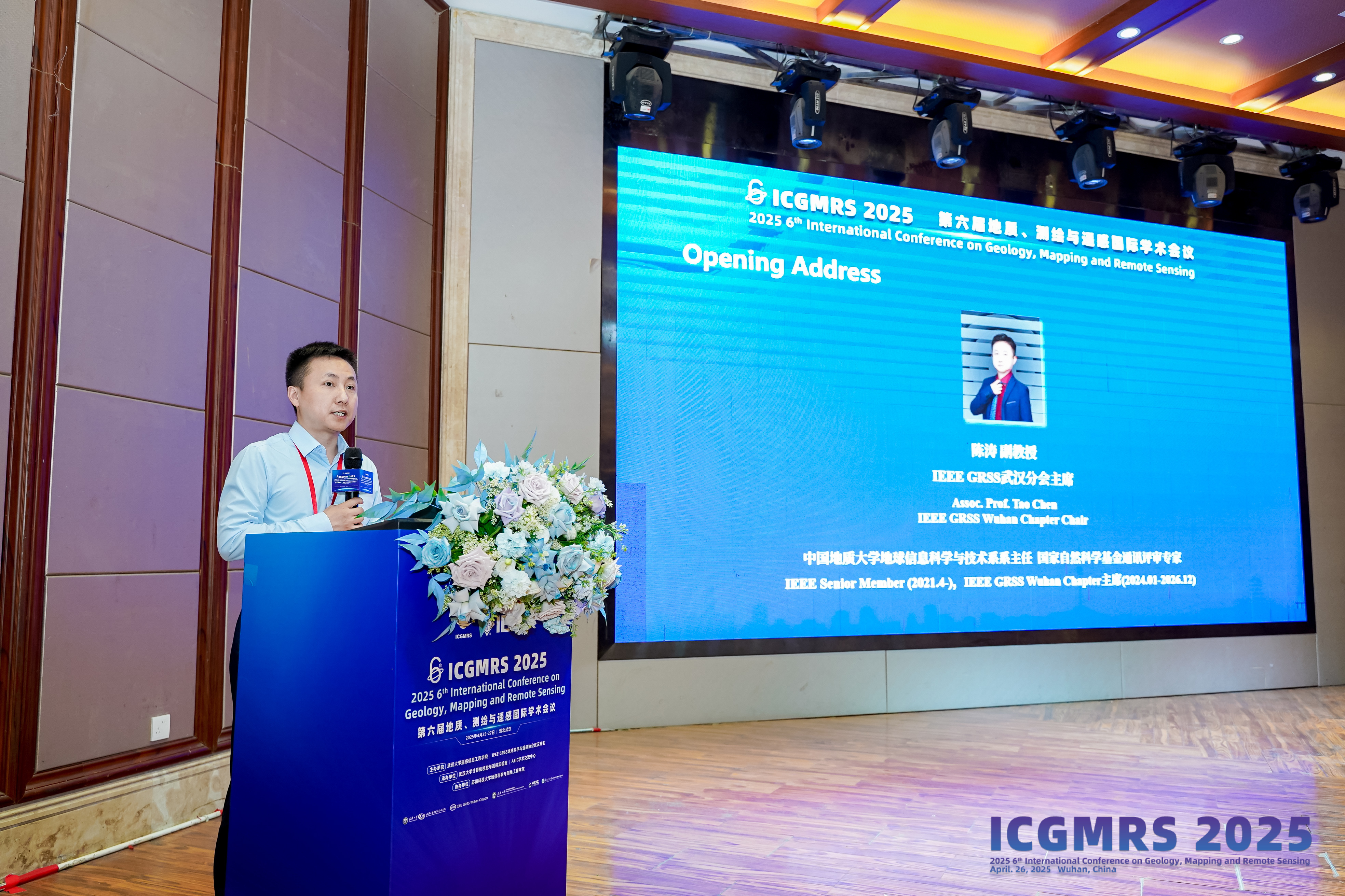
Assoc. Prof. Tao Chen,IEEE GRSS Wuhan Chapter Chair
Afterwards,Assoc. Prof. Tao Chen fromIEEE GRSS Wuhan Chapter made an opening speech at the opening ceremony of the conference, welcoming the participants from all over the country and wishing ICGMRS 2025 to be held successfully. China University of Geosciences, Wuhan, as a national key university directly under the Ministry of Education and one of the first universities to set up a graduate school in China, has taken geological resources exploration, environmental monitoring and geologic disaster prevention and control as its core features in the field of remote sensing and mapping, relying on the disciplinary strengths in the field of earth sciences, and deeply integrating remote sensing technology and geological applications, and has achieved remarkable results in the fields of land and resource investigation, ecological protection and disaster emergency response, and has formed an industry-university-research innovation system with distinctive features of geosciences. It has formed an industry-academia-research innovation system with distinctive geoscientific characteristics.
The main session of the conference was chaired by Res. Assoc. Prof Li Li from the School of Remote Sensing and Information Engineering, Wuhan University. The event featured 12 thematic presentations and multiple oral reports, encompassing the latest research achievements and technological applications in geology, geomatics, and remote sensing domains. Distinguished plenary lectures were delivered by four eminent scholars: Prof. Jeffrey Walker from Monash University in Australia,Prof. Sen Jia from Shenzhen University, Prof. Yaoping Cui from Henan University, andProf. Jie Chen from Central South University. Their cutting-edge academic contributions attracted considerable attention from participating experts and scholars. Following the presentations, genral chairsProf. Jian Yao from Wuhan University and Assoc. Prof. Chen Tao from China University of Geosciences, Wuhan presented honorary certificates to the four distinguished speakers in recognition of their exceptional scholarly communication. This ceremonial conclusion underscored the conference's commitment to fostering interdisciplinary exchanges and acknowledging academic excellence within the geospatial research community.
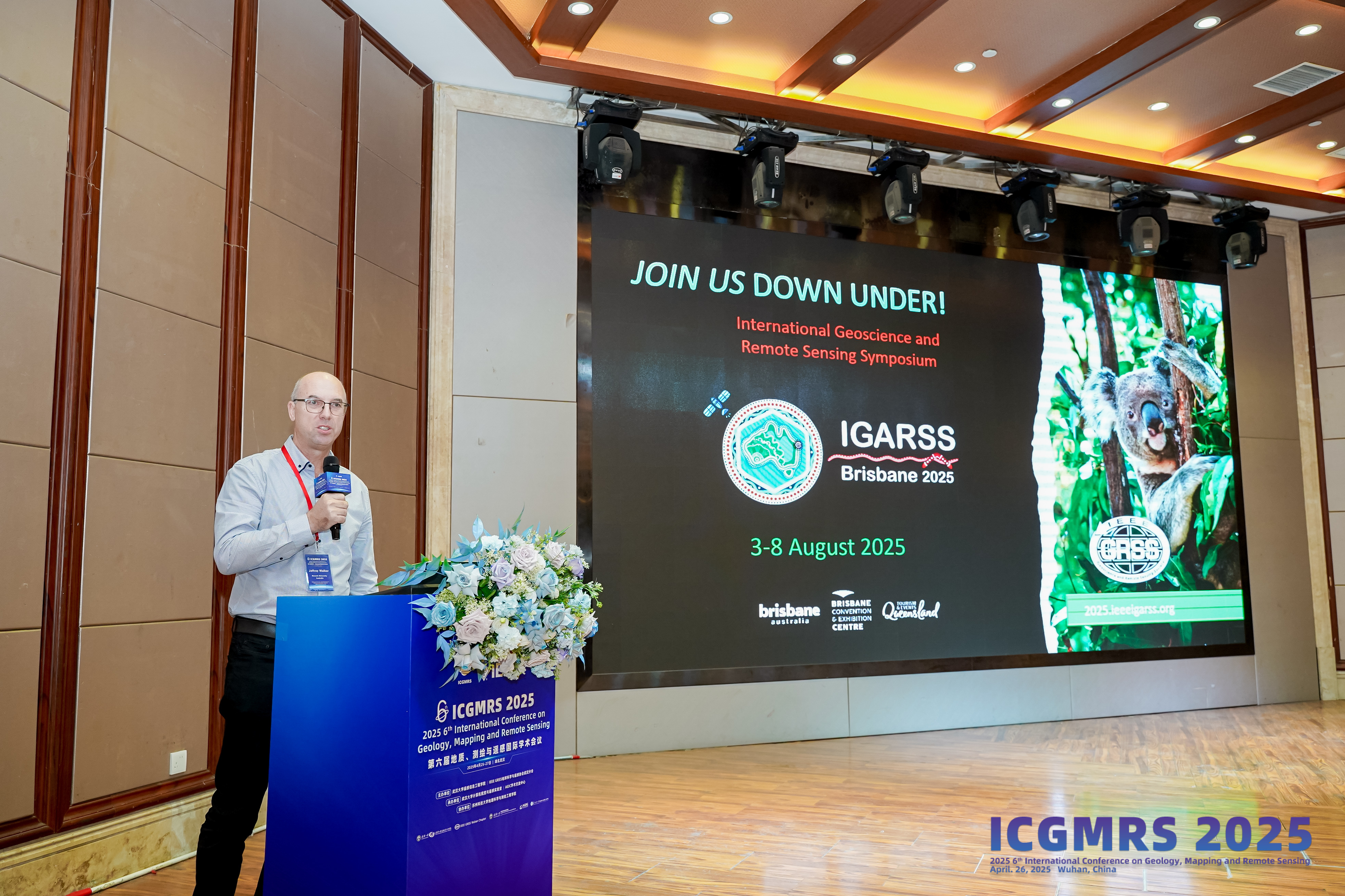
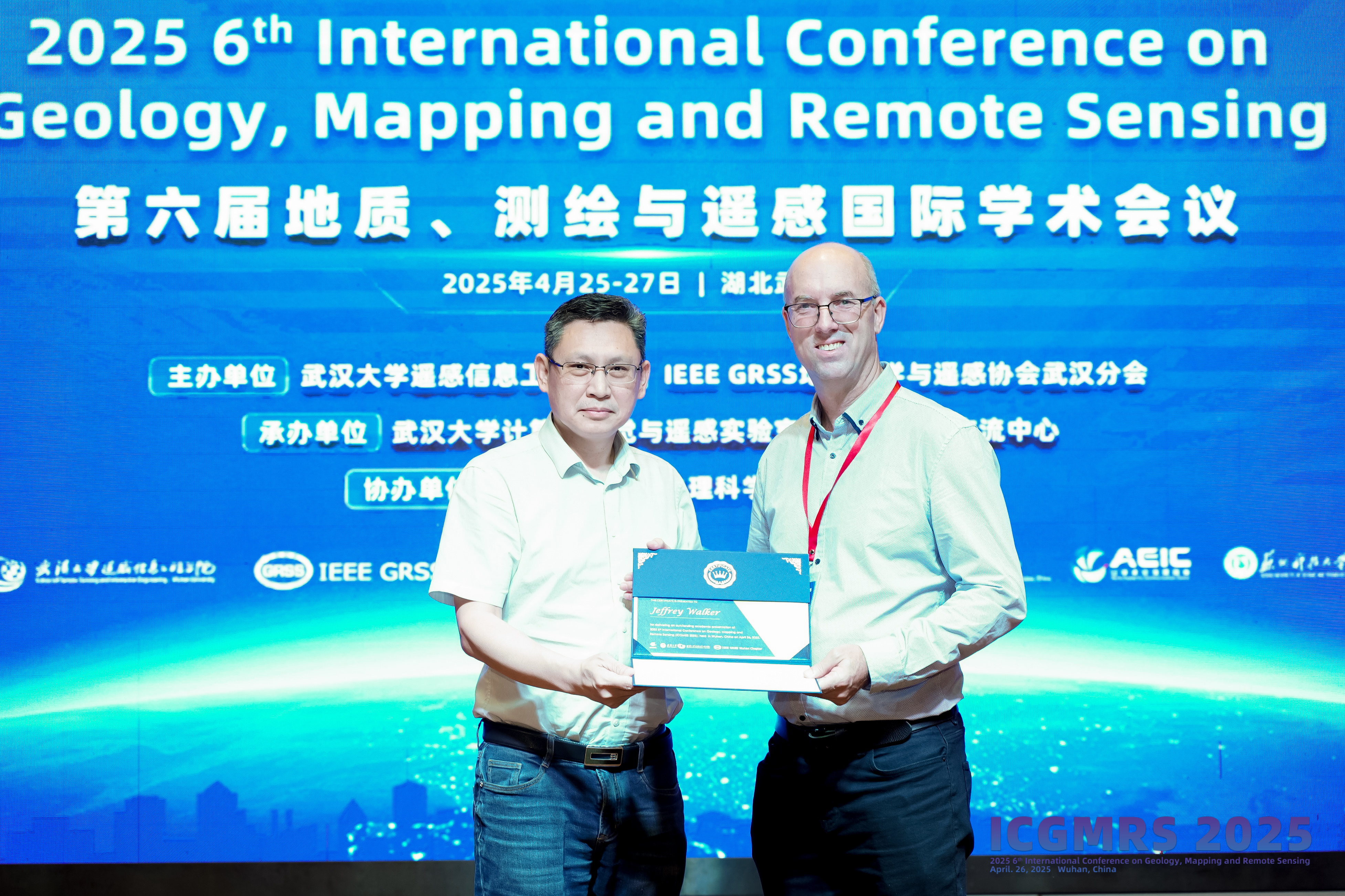
Prof. Jeffrey Walker,Monash University, Australia
Speech Title: A Near-Space Surveillance Capability for Natural Disaster Risk Prediction and Monitoring
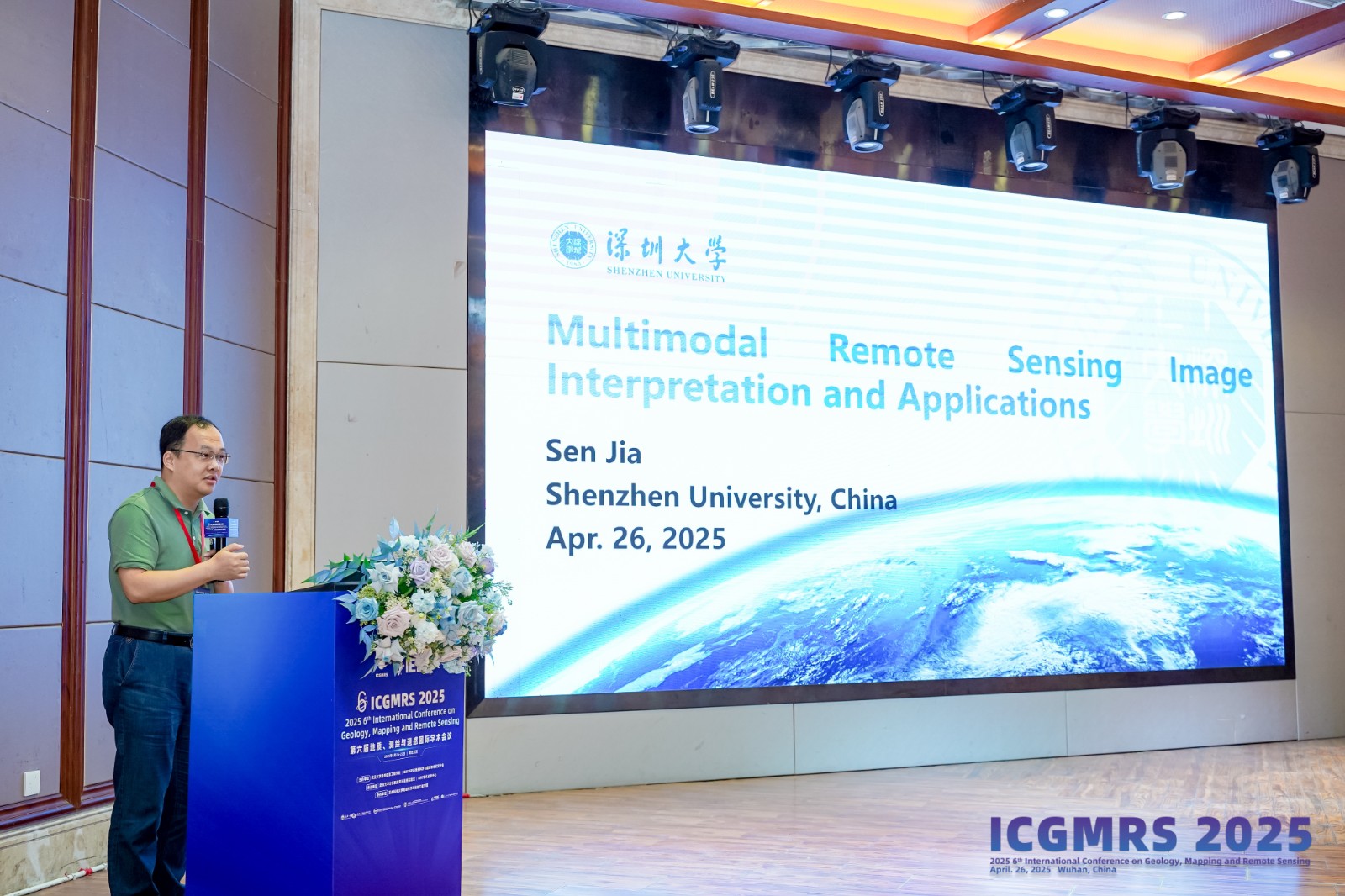
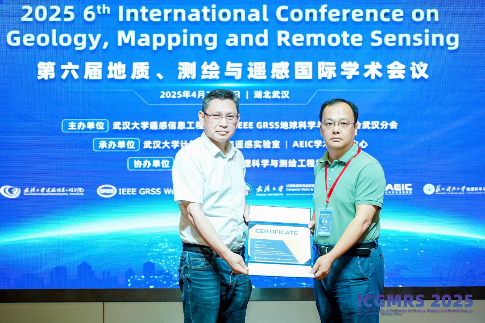
Prof. Sen Jia,Shenzhen University
Speech Title: Multimodal Remote Sensing Image Interpretation and Applications
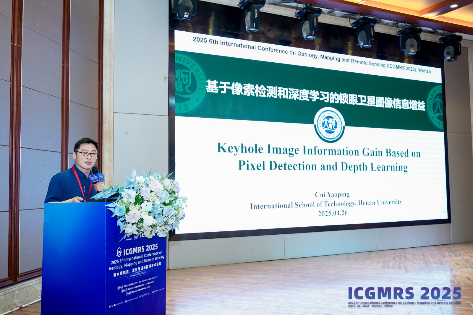
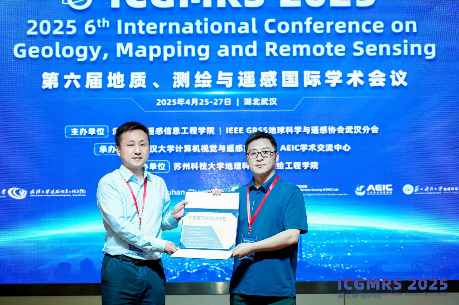
Prof. Yaoping Cui,Henan University
Speech Title: Keyhole Image Information Gain Based on Pixel Detection and Depth Learning

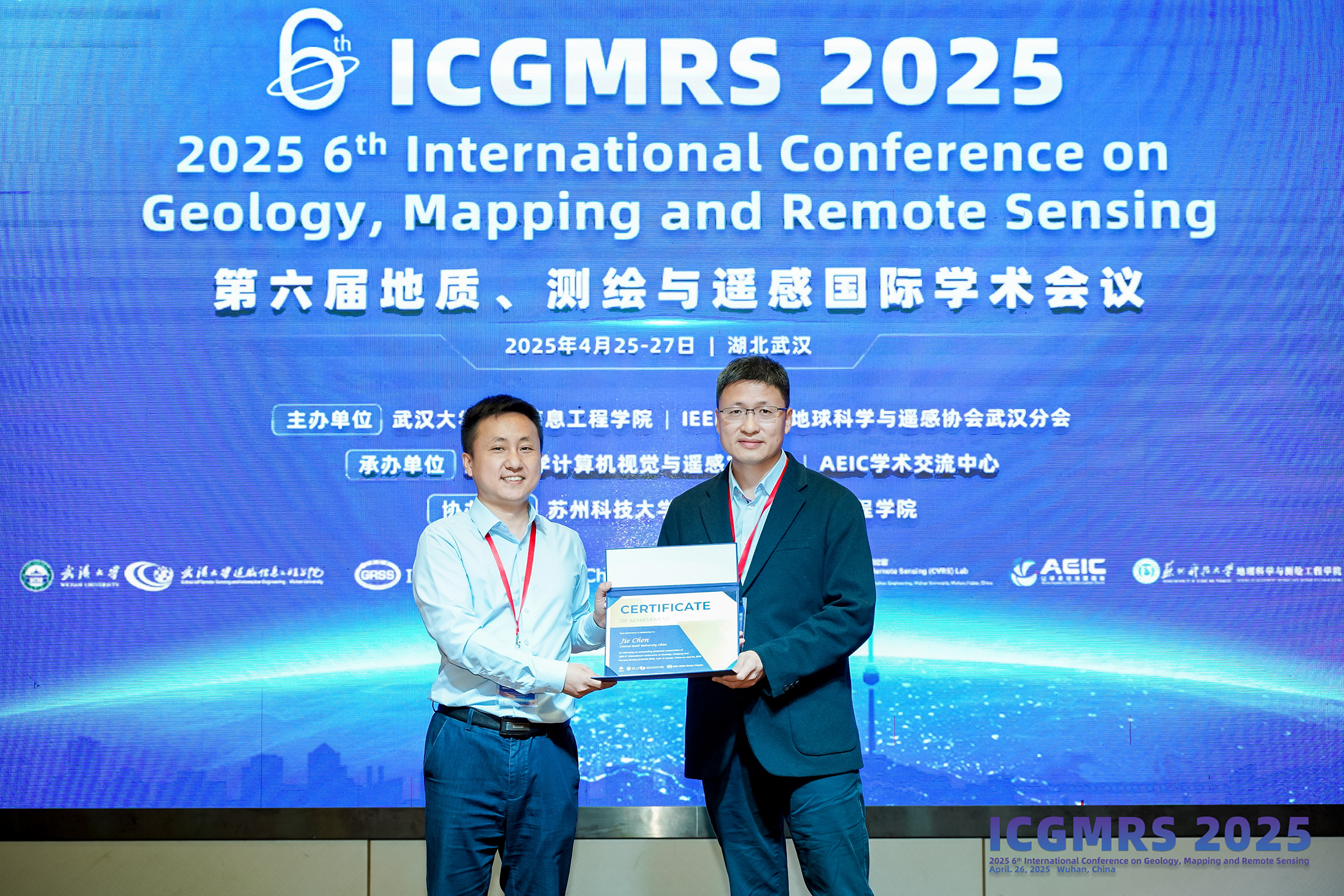
Prof. Jie Chen,Central South University
Speech Title: Unsupervised Domain Adaptive Semantic Segmentation of High-resolution Remote Sensing Imagery
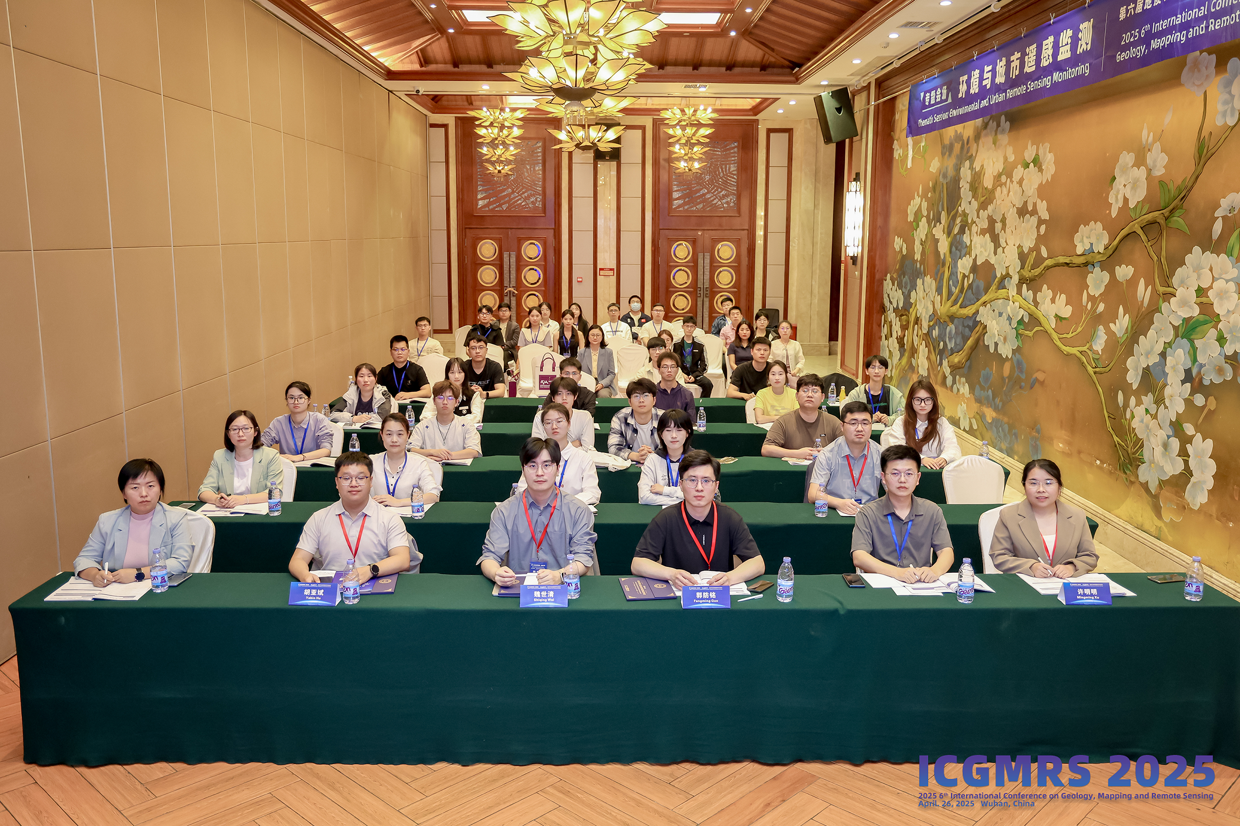
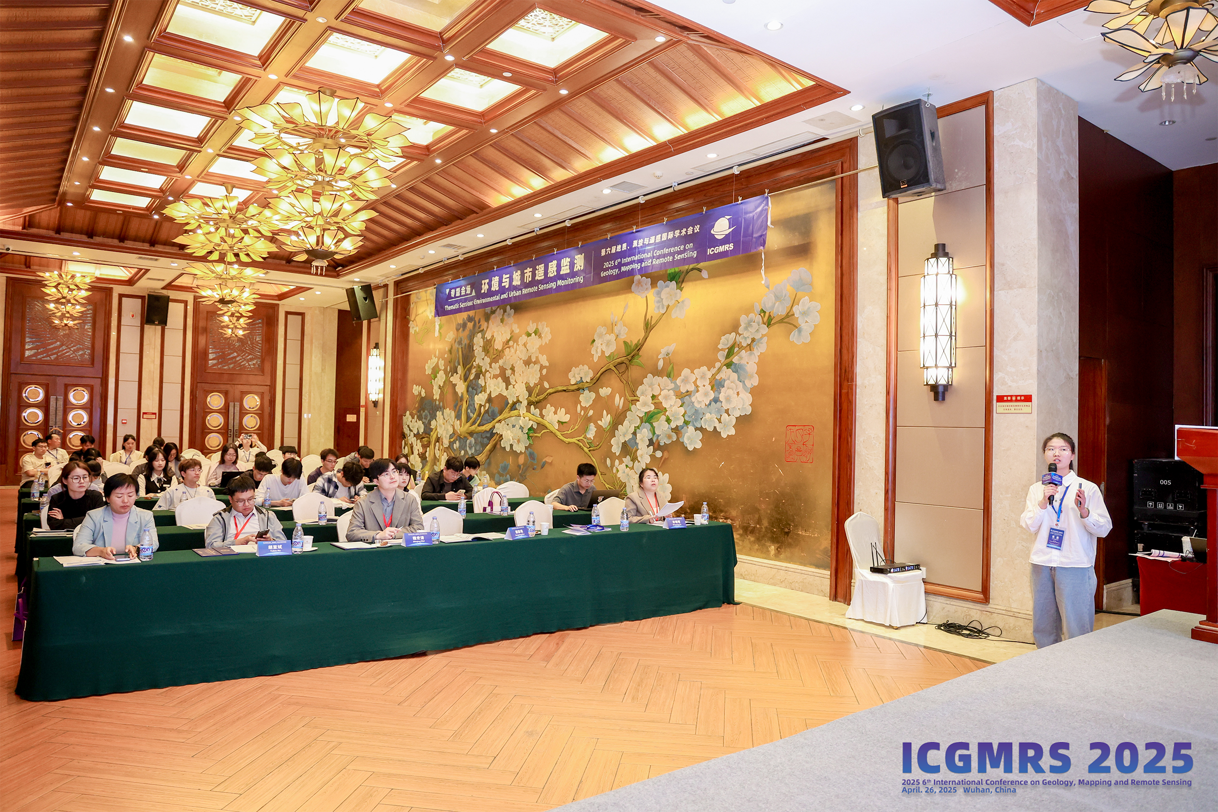
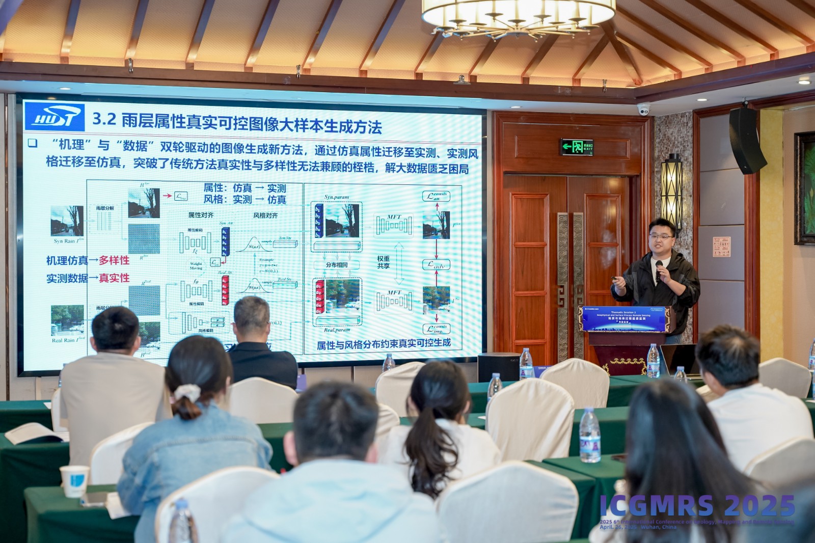
The thematic session encompassing key domains such as Environmental and Urban Remote Sensing Monitoring, Geophysical and Surface Process Remote Sensing, along with Natural Resources and Hazards Remote Sensing. Distinguished scholars from prominent institutions delivered insightful presentations across parallel sessions, including: AR Yabin Hu (First Institute of Oceanography, MNR), Assoc. Prof. Shiqing Wei (China University of Petroleum (East China)), AR Fangming Guo (China University of Petroleum (East China)),Assoc. Prof. Yi Chang (Huazhong University of Science and Technology), Assoc. Prof. Alireza Rashki (Ferdowsi University of Mashhad, Iran), Prof. Yuan Wang (Nanjing University of Information Science & Technology), Assoc. Prof. Faming Huang (Nanchang University), andRes. Assoc. Dezhi Wang (Wuhan Botanical Garden, Chinese Academy of Sciences).
 |  |
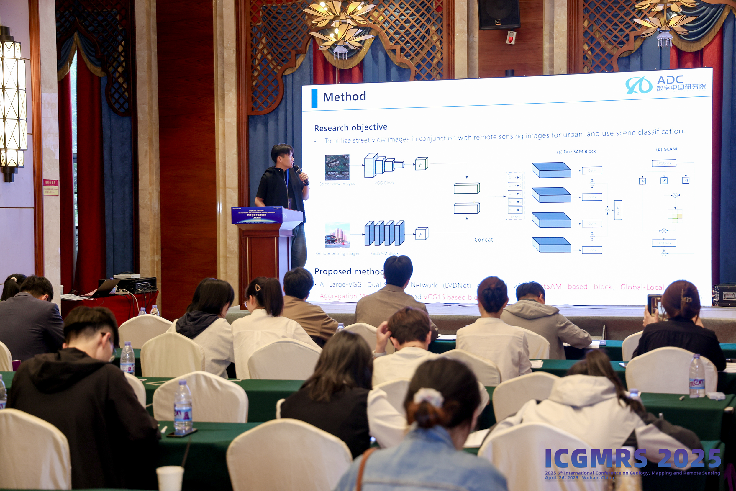 | 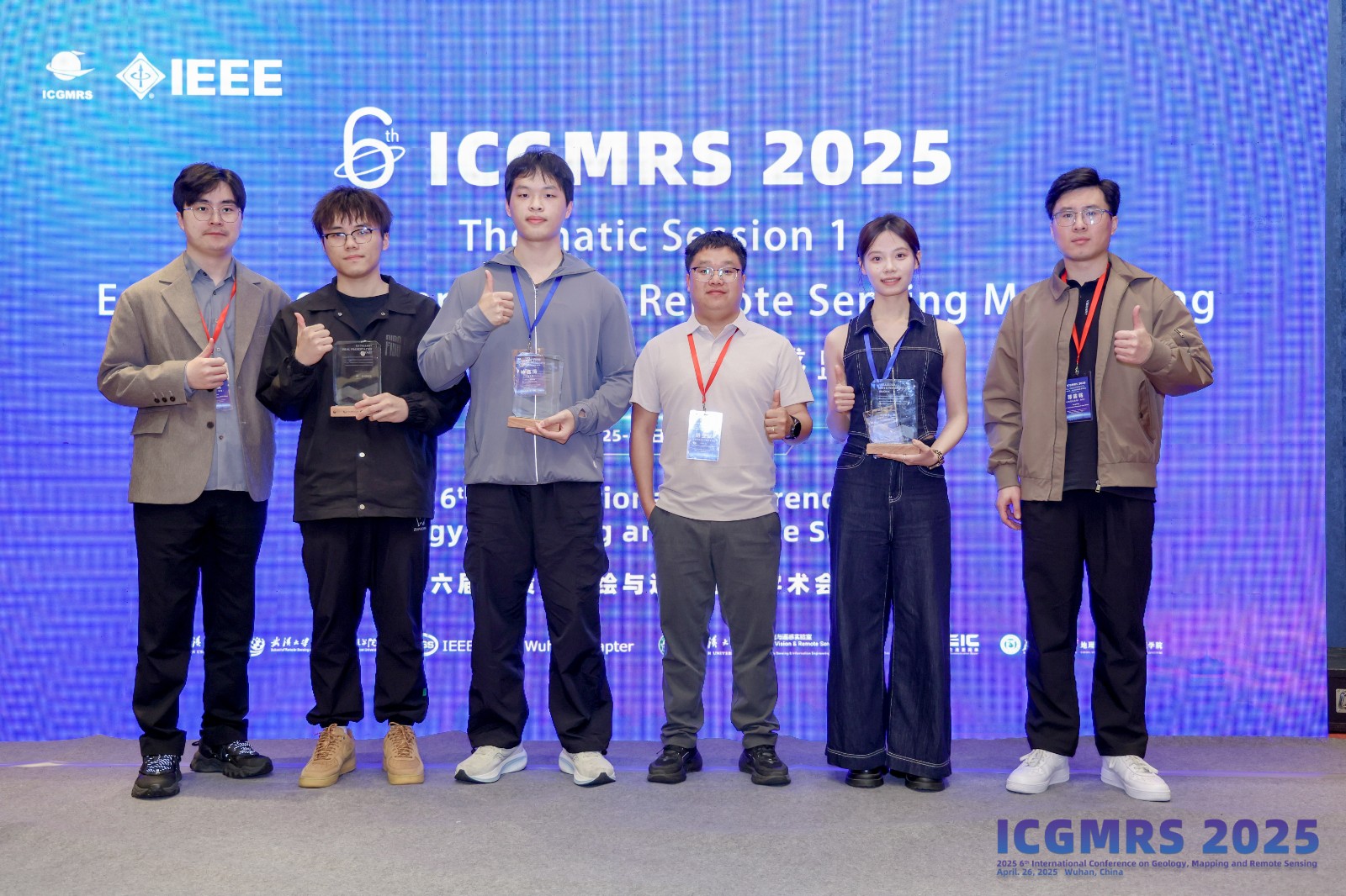 |
Thematic session 1: Environmental and Urban Remote Sensing Monitoring
 |  |
 |  |
 | 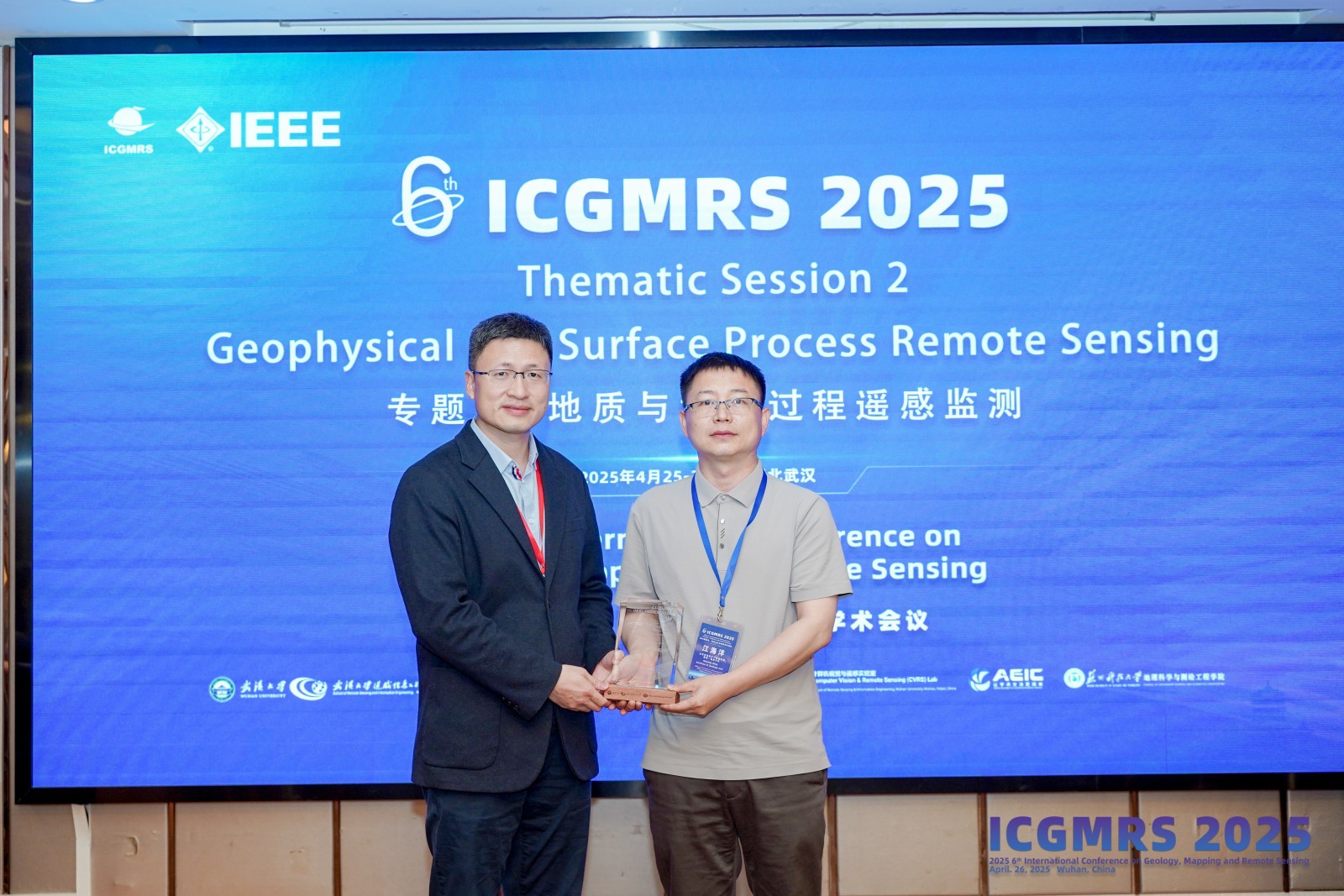 |
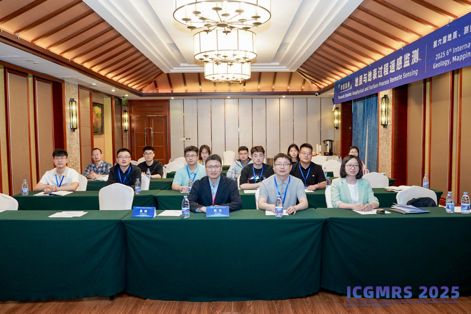
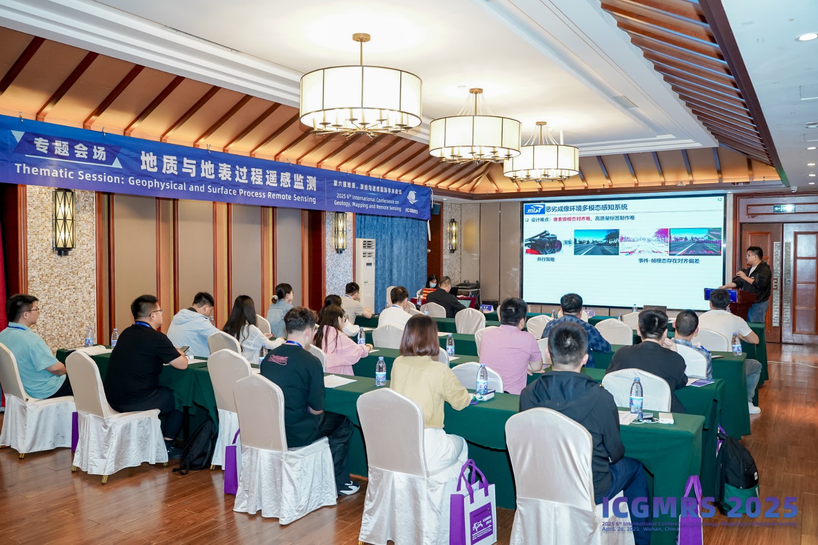
Thematic session 2: Geophysical and Surface Process Remote Sensing
 |  |
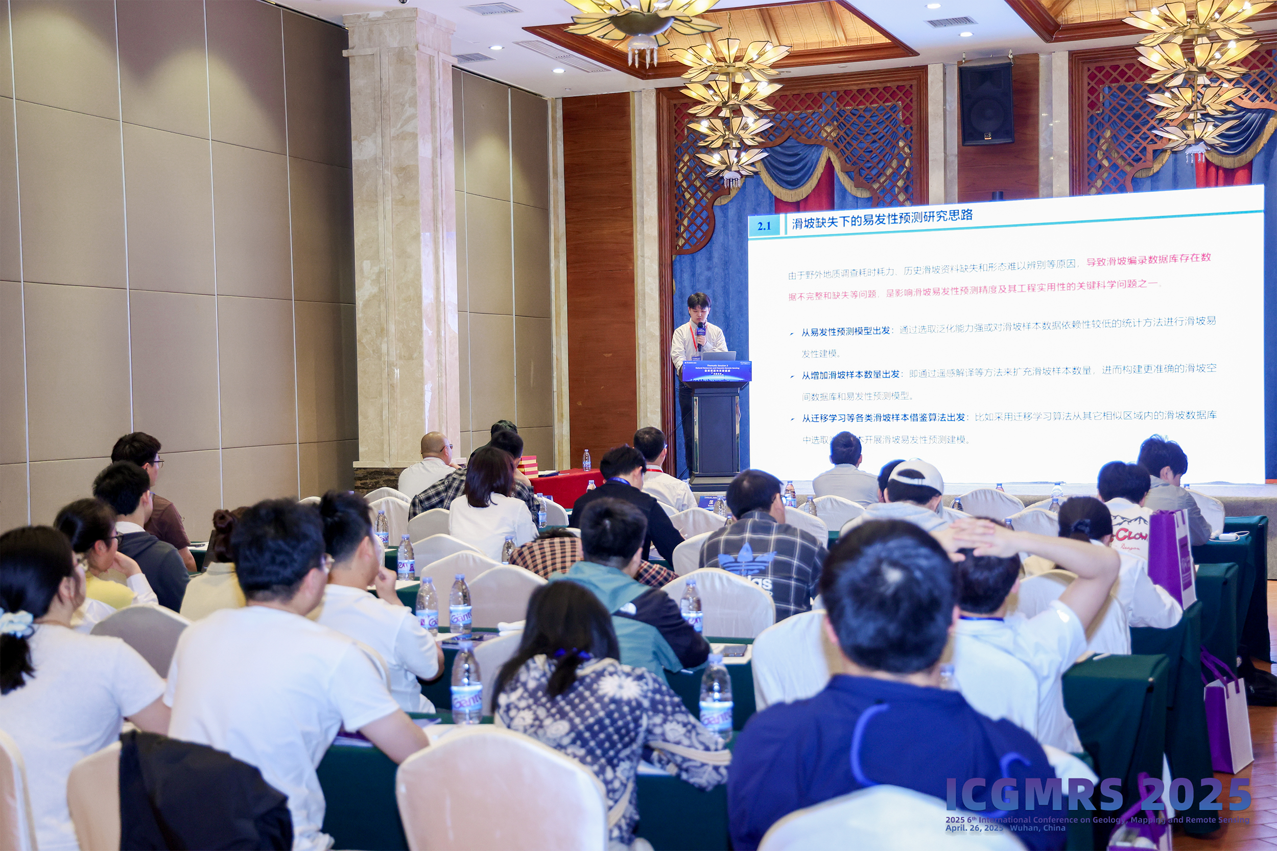 |  |
Thematic session 3: Natural Resources and Hazards Remote Sensing
ICGMRS 2025 came to a successful end after thethematic session. The organizing committee of the conference expresses its deep gratitude to all the participating experts and attendees, and looks forward to the brilliant continuation of the next ICGMRS. This conference has undoubtedly deepened the academic exchanges and cooperation in the field of geology, mapping and remote sensing, and has added to the vigorous development of this hotbed of science. It is expected that more scholars and experts will join the future academic exchanges and play the splendid music in the field of geology, mapping and remote sensing together, contributing to the progress of the industry and the prosperity of the society. May we blossom the flowers of wisdom and sow the fruits of prosperity together in the future scientific journey!